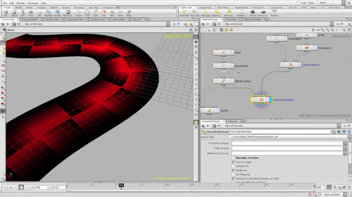
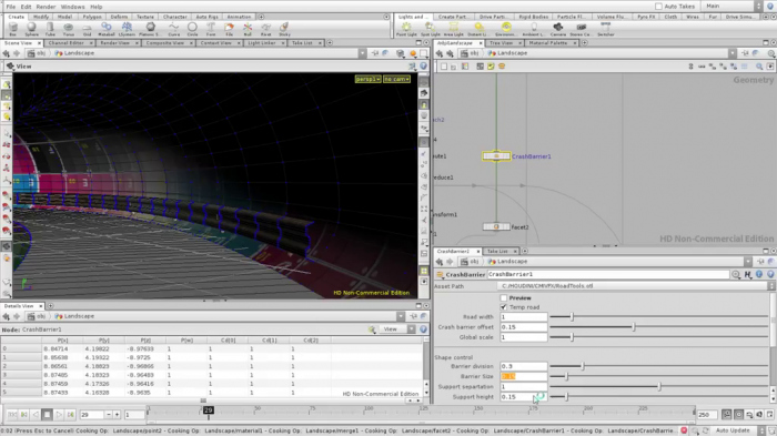
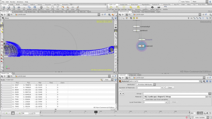
Houdini Procedural Road Creation 3
Скачать урок
Скриншоты
- Как хороший архитектор вы собираетесь создать наиболее экономически жизнеспособное строительство дорог над ландшафтом.
- Узнайте об основных подходах для выравнивания ландшафта. Начните с создания основной формы, при условии, чтобы позже иметь возможность изменять ландшафт.
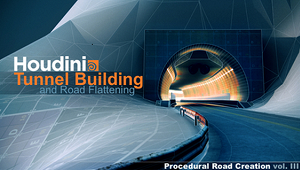
Источник: cmiVFX.com
Автор: Kim Goossens
Качество: HD (высокое)
Язык: Английский
Продолжительность: 3 часа 52 минуты
Размер: 826 МБ
Похожие уроки
Случайные уроки
 Houdini Procedural Road Creation 2
 Houdini Procedural Road Creation
 Vue Moving Matte Paintings
 Softimage ICE в процессе разработки компьютерной графики
![[cmiVFX] Техники ретопологии в Luxology Modo](/uploads/posts/2013-01/1359457430_fin.jpg) [cmiVFX] Техники ретопологии в Luxology Modo
[cmiVFX] Техники ретопологии в Luxology Modo
 Nuke General Compositing Techniques
 Creative Development: Creating Procedural Rigs and Controlling Motion in Houdini with Jonah Hall
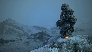 Шлейф вулканического пепла с Houdini Pyro FX tools
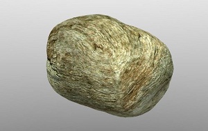 Реалистичная текстура камня в Blender
 Моделирование лодки в Blender
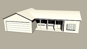 Моделирование базового лоу-поли дома в Maya
 Визуализация золотого кольца в Maya с Mental Ray
 Текстурирование радио в Substance painter
 Анимация аудио волн
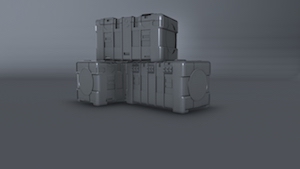 Моделирование военного ящика в 3ds Max
 Play with Fire to Create a Fiery Logo Transition
Комментарии
Добавить комментарий
Информация
Посетители, находящиеся в группе Гости, не могут оставлять комментарии к данной публикации.
